Commercial Drone Roof Inspection in Gresham, OR
Plan a roof imaging visit
- Home
- Commercial Roofing Services
- Commercial Drone Roof Inspection
A roof with several wings, equipment clusters, or limited safe access can be difficult to review from one hatch. Drone imaging provides an overhead view of broad roof areas and details that may be hard to reach. We use it to document visible conditions, orient a repair discussion, and identify areas for closer inspection. An image cannot confirm attachment, moisture below the membrane, or the cause of a leak. The operator still needs suitable weather, site permissions, and a safe flight path. Gresham’s industrial inventory includes distribution, manufacturing, and processing properties with different roof layouts. We can combine aerial images with a hands-on roof inspection so the owner can distinguish what the camera shows from what requires direct evaluation.
Choose aerial imaging for the right question
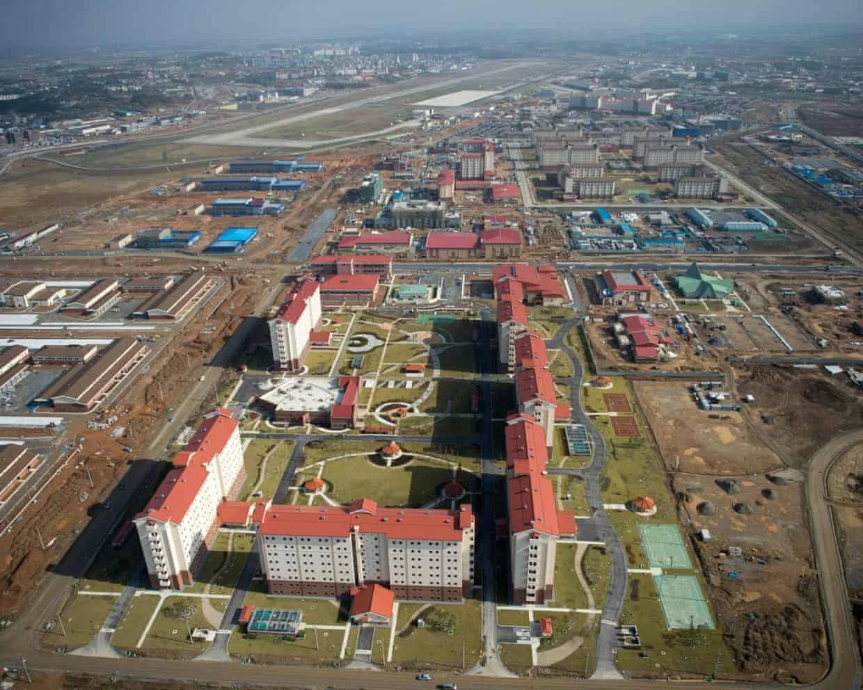
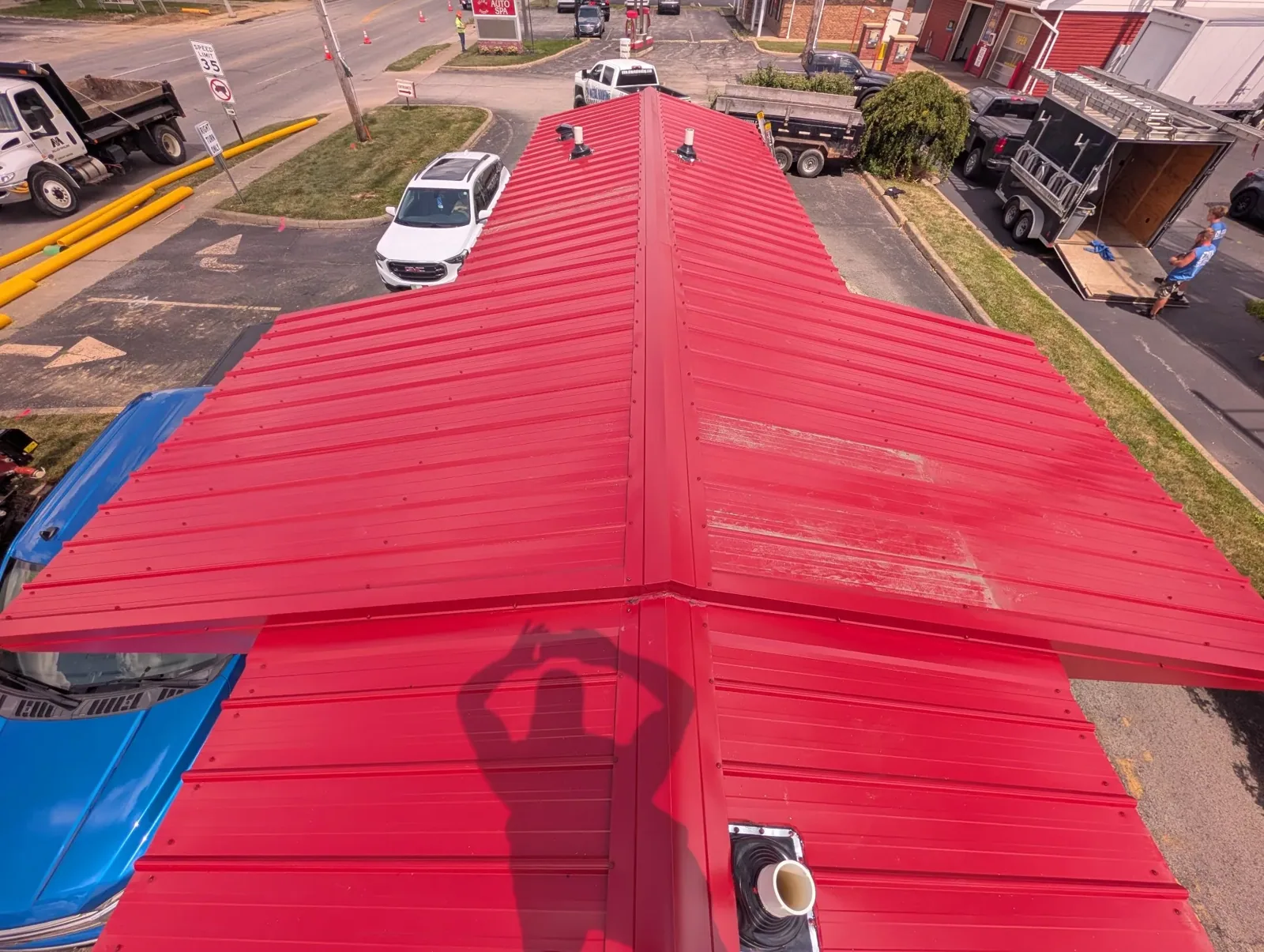
Aerial views can help when a property has multiple roof sections or a large setback between access points and the area of interest. Images may show debris patterns, standing water, damaged membrane, displaced metal, or a group of rooftop units from a useful perspective. They can also help facility staff point out the roof zone tied to an interior report. The value is strongest when each image is connected to a clear inspection question.
Drone imaging is not the first choice for every roof. A close view of a termination, seam, drain bowl, penetration, or fastener may need a person on the roof. A camera angle can miss a shallow split or a defect below equipment. We identify the intended coverage area and note where image resolution, glare, shadow, obstructions, or flight distance limit the view.
For a property with several buildings, the image set can create a common visual record for the facilities group. At Southshore Corporate Park, the mix of manufacturing and distribution across a planned business park may involve varied roof areas and operations. In the Gresham Northerly Industrial Area, industrial uses occupy parcels of different sizes. We assess the individual property and do not assume one image plan fits every roof.
Understand what a camera cannot verify
An overhead photograph shows the surface visible at that moment. It does not establish whether insulation is wet, which layers sit beneath a membrane, or how an attachment performs under load. It also cannot prove that a roof is watertight simply because no opening is visible. A roof decision that depends on concealed conditions needs direct examination or testing.
We label image findings as visible observations. If an aerial view suggests a displaced patch, ponding area, debris accumulation, or damaged metal, we can plan a hands-on check of the relevant detail. A suspected wet zone may warrant an infrared moisture survey or a targeted opening. The follow-up method depends on the assembly, weather, access, and the question the owner needs answered.
Image perspective can distort distances and elevations. Parapets, rooftop units, shadows, and reflective surfaces may hide the roof field. We avoid using a single frame to estimate repair quantities where scale is not reliable. When dimensions affect a scope, we verify them on the roof or use an appropriate measurement method, then identify assumptions in the work plan.
Prepare the site before the flight
Before imaging, we discuss roof coverage, flight timing, access, nearby operations, and site rules with the property contact. We identify occupied zones, equipment that may be sensitive to work nearby, and locations where people or vehicles need to remain clear. The flight takes place only when conditions and access permit safe collection. Rain, wind, low visibility, or nearby activity can require a different window.
Industrial settings need coordination beyond the roof hatch. Loading lanes, crane activity, forklifts, vehicle circulation, and building security may affect where an operator can stand and when a flight can occur. In Gresham’s I-84 and NE 181st employment cluster, freight use and industrial activity make a site contact useful for planning. A separate route or restricted period may be required at another property.
We identify the planned roof area and confirm how the images will be used. A focused set for a reported leak differs from an overview for capital planning. If the client needs comparisons across time, we retain consistent labels and reference points where practical. The record should remain understandable to facility staff who did not attend the flight.
Connect images to a repair decision
After collection, we sort images by roof zone and note the visible condition, date, and limits. Selected frames can show the building context and a closer surface view. We pair observations with a recommendation for hands-on inspection where more evidence is needed. If damage is clear, a repair scope can identify the detail and material work. If the view does not confirm the cause, we state that the image did not settle the question.
For ongoing records, images can accompany a roof condition report or a roof asset record. The owner can compare broad visible changes over time, but the same angle and seasonal conditions matter. An aerial set should not replace routine checks at drains, seams, flashings, and equipment supports.
The report can also help prepare a maintenance visit by marking access priorities and areas where debris or water appears to collect. A preventive maintenance plan can use those observations alongside hands-on findings. We coordinate follow-up with the facility team and identify which roof areas need direct access.
Pair imaging with direct roof knowledge
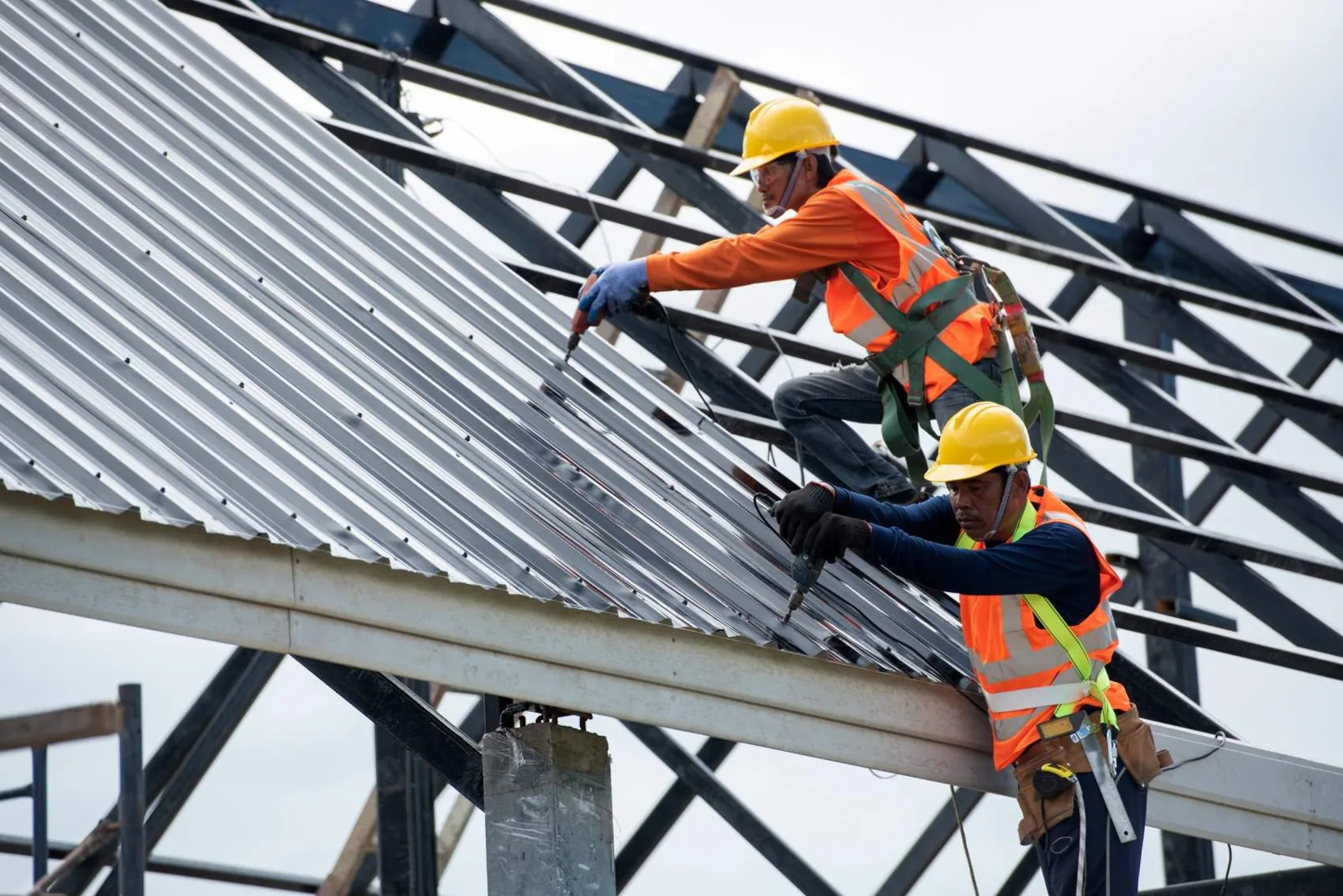
Drone inspection is a practical supplement when broad views or difficult access make image documentation useful. It does not replace a close roof walk where the repair depends on a seam, flashing, or substrate condition. The correct combination depends on roof size, height, access route, purpose of the inspection, and the evidence already available.
We can begin with the question the owner needs answered: where does a reported leak travel, what changed after a storm, which roof section needs attention, or what should be included in the next capital review? Aerial imagery can narrow the area and improve orientation. Hands-on inspection confirms surface details, while moisture testing or a core addresses concealed conditions. The final record separates each method and what it established.
For a Gresham facility, an imaging plan also has to fit the building schedule and local weather. The airport station logged measurable precipitation on 157 days per year in the 1991-2020 normals. We use that regional context to plan for suitable collection conditions, not to predict a flight day. We will coordinate access, image the agreed area, and present findings the facility can use.
Commercial Drone Roof Inspection FAQs
-
Can drone images replace a roof walk?
No. Images document visible surface conditions, but a person must verify close details such as seams, fasteners, flashing, and drain components. Concealed moisture and attachment also require other methods. We use aerial images to improve coverage and orientation, then recommend direct checks where the decision depends on more than the surface view.
-
Can a drone find a leak?
Aerial views may show a damaged area or water pattern that helps narrow the search, but they do not confirm the full path into the building. We compare the images with the leak timing and interior evidence. A hands-on inspection or moisture testing may be needed to identify the source and repair scope.
-
What conditions can delay the imaging visit?
Weather, visibility, roof access, site activity, and operating restrictions affect whether an image set can be collected safely. We coordinate the flight window with the facility contact and reschedule if conditions prevent a useful view. A delayed flight is preferable to a record that cannot answer the inspection question.
-
What will we receive after a drone inspection?
You receive selected images organized by roof area, a note of visible conditions, and any limits on what could be seen. If an image points to a defect that needs direct verification, we identify that next step. Repair quantities or concealed moisture conclusions require suitable measurement or testing beyond an overhead photograph.
Related Roofing Work
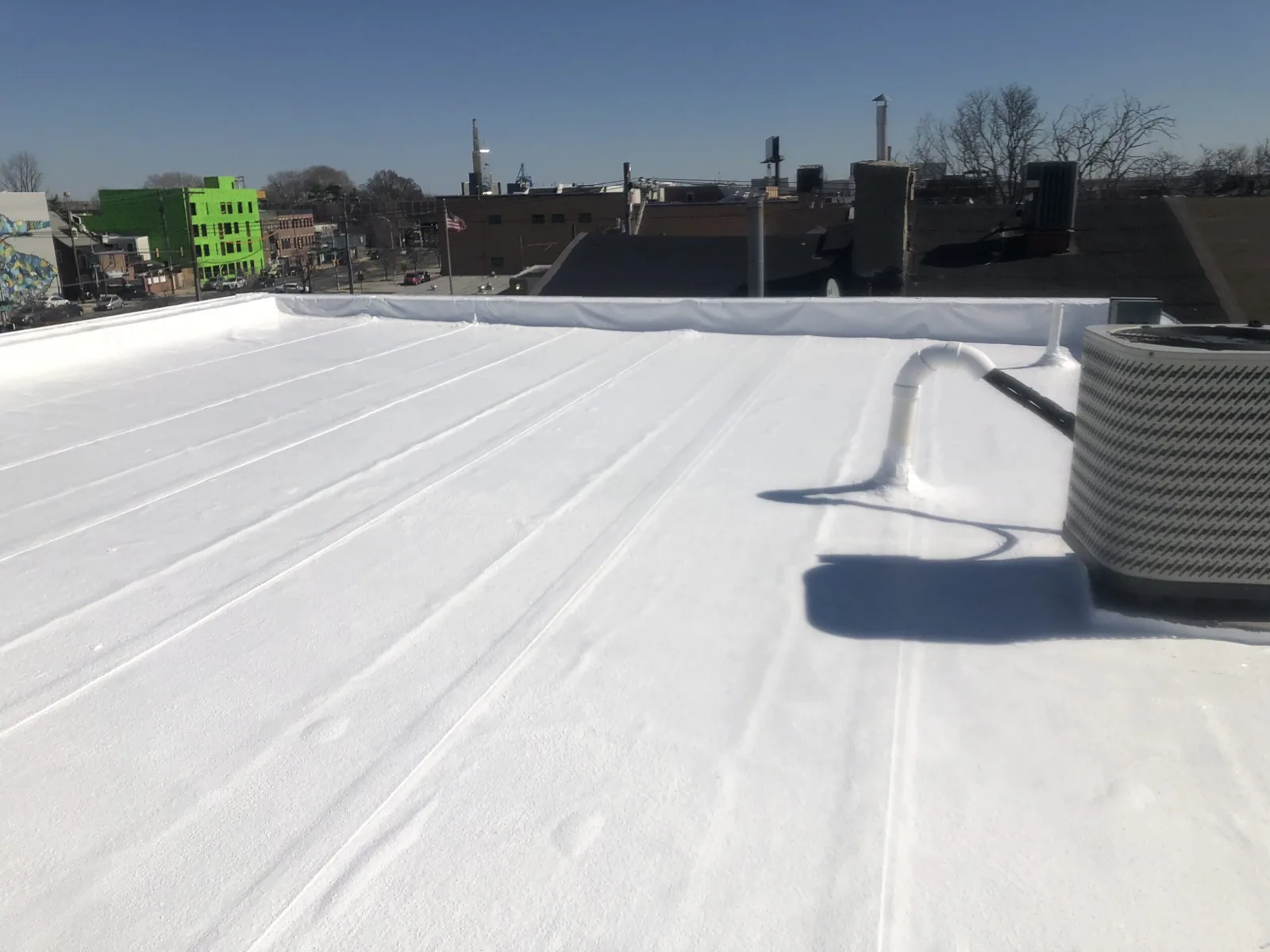
Commercial Roof Inspection
Learn More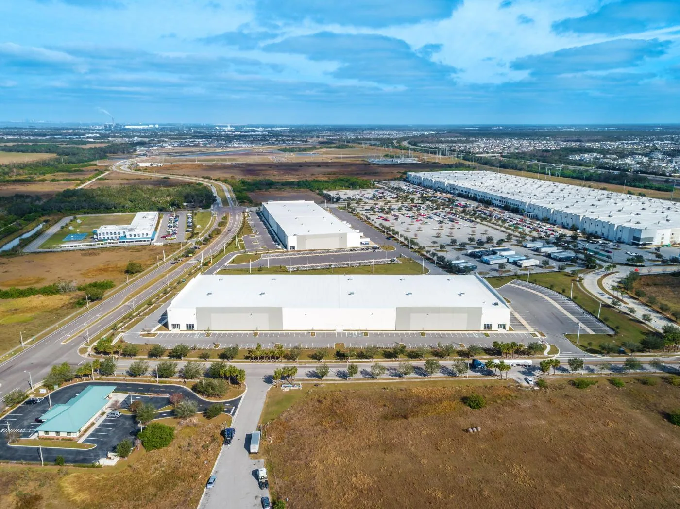
Southshore Corporate Park
Learn More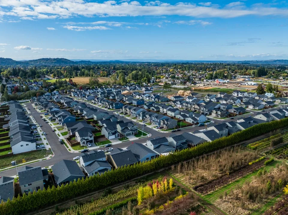
Gresham Northerly Industrial Area
Learn More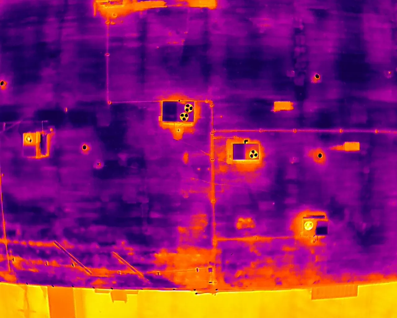
Infrared Moisture Survey for Commercial Roofs
Learn More
I-84 and NE 181st Industrial Cluster
Learn More
Commercial Roof Repair
Learn MorePlan a roof imaging visit
Request a roof assessment in Gresham
We will define the roof areas, coordinate site access, and pair useful aerial views with direct follow-up where needed. Tell us about the building, the roof and what you are seeing. Call 555-555-5555, email [email protected] or send the details through our contact page and we will set up a time to walk the roof.